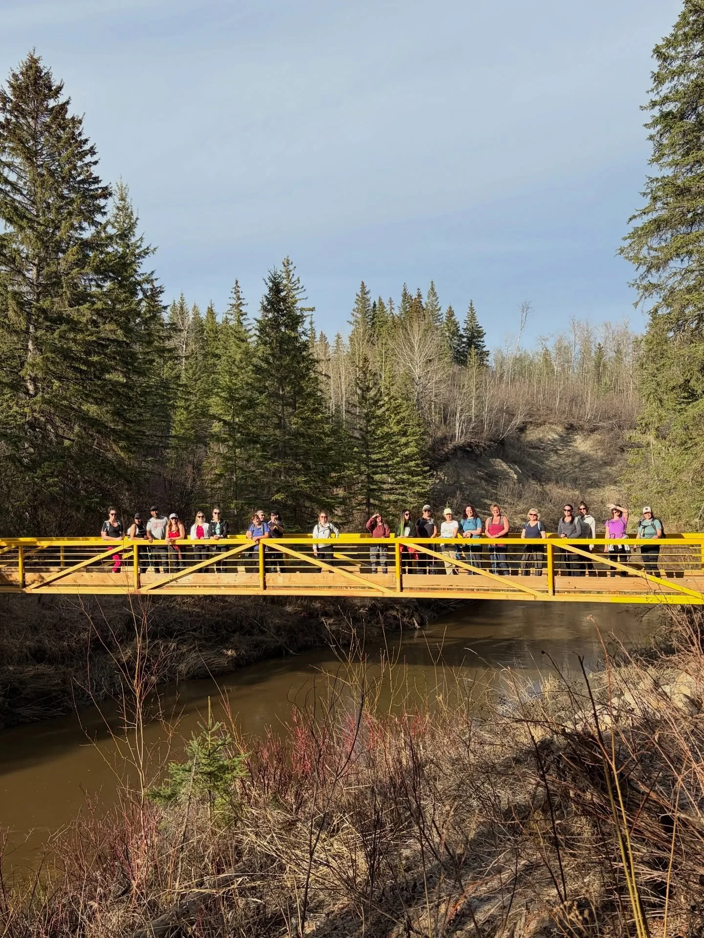

Private Guided Day Hikes
Personalized, guided hikes tailored to your pace, interests, and ability—designed to help you experience the landscape more deeply, in a single day.
Level 1 - 2


Easy
-
Distance: 3-4 KM
Elevation: ± 50m
Duration: 2-3 HRSInspiring rock formations, varied terrain, flower filled meadows
-
Distance: 4 KM return
Elevation: ± 50m
Duration: 3 HRSChunky boulder rocks to climb over, views of the valley, hidden tarn (lake)
-
Distance: 2 KM return
Elevation: ± 50m
Duration: 1-2 HRSEasy path through the woods to a pretty waterfall and swimming hole - if you dare!
-
Distance: 2-3 KM round trip
Elevation: ± 50m
Duration: 2-3 HRSIncredible waterfall, the Gem of Tumbler Ridge Geopark.
-
Distance: 4 KM
Elevation: ± 50m
Duration: 3 HRSPretty falls and scenic lake with an interesting history.
-
Distance: 2-4 KM return
Elevation: ± 50m
Duration: 1-3 HRSUp to 6 lakes to explore as a side trip to Kinuseo Falls
Level 3 - 4


Moderate
-
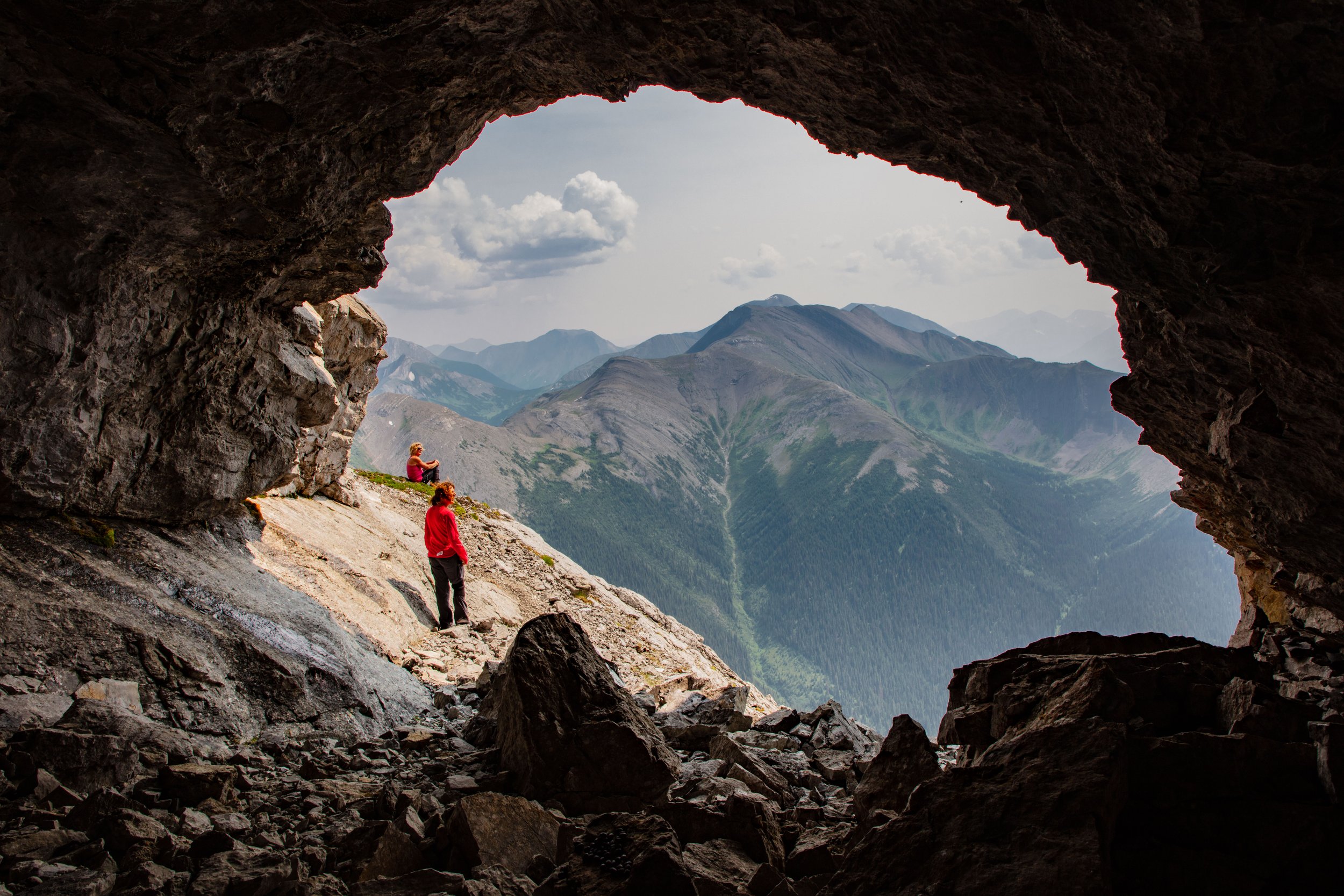
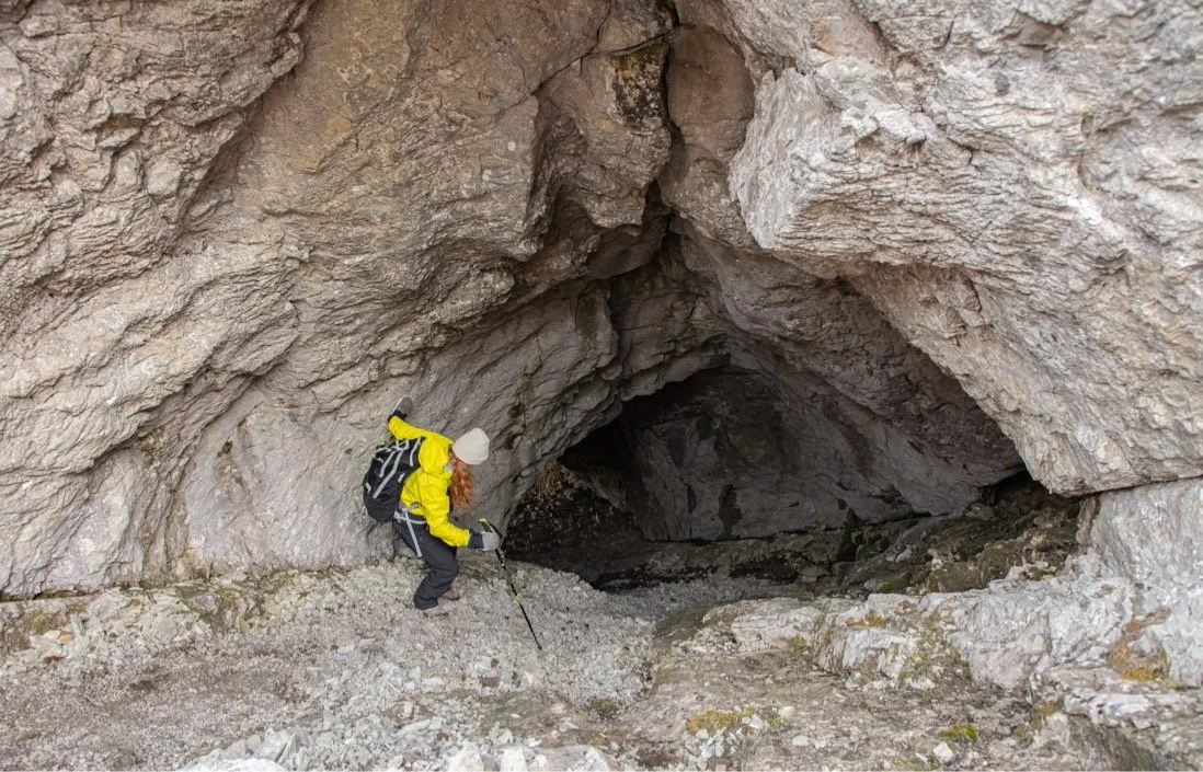
Distance: 6 KM round trip
Elevation: ± 250mCaves, lakes, stone features and mountain lore!
-
Distance: 7 KM round trip
Elevation: ± 30mEasy walk through the community forest to the river bank’s edge, where you get a fantastic view of the Murray River Valley.
-
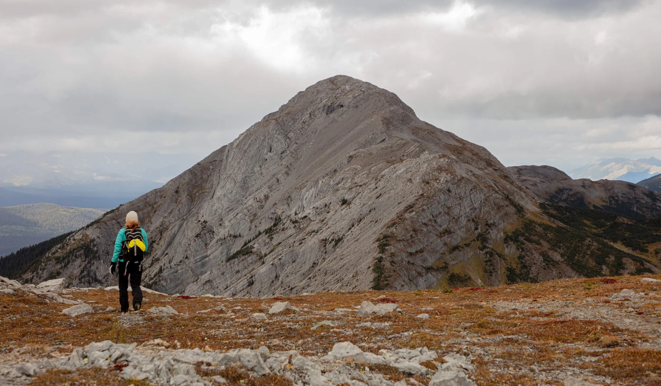
Distance: 6 KM round trip
Elevation: ± 400mWinding trail through the forest to a fantastic ridge walk with views for days. The goats hide up here!
-
Distance: 8 KM
Elevation: ± 350m
Duration: 4-6 HRSFloral meadows, filled wth alpine flowers, wide winding Ptarmigan Ridge and optional peaks to summit.
-
Distance: 6 KM return
Elevation: ± 300m
Duration: 4-6 HRSFlat topped mountian that has endless opportunities to explore. Incredible views, interesting rocks and shallow tarns.
-
Distance: 10 KM return
Elevation: ± 550m
Duration: 5-7 HRSA craggy rock trail turns into the “Caribou Highway” and down into alpine meadows up to the summit. Gorgeous views of the Sukunka River Valley.
Level 5

Hard
-
Beautiful Alpine Tarn tucked into a circular bowl with views of Mount Crum.
-
Big Mountains, tiny lakes and mountain goats.
-
A challenging hike to view natures wild and wonderful hidden gems.
-
Distance: 12-14 KM
Elevation: ± 450m
Duration: 7-8 HRSRiver valley, waterfalls, and side trips, this hike has it all!
-
Distance: 13 KM
Elevation: ± 450m
Duration: 7-8 HRSAn interesting peak that reminds one of the cliffs of Ireland.
-
Distance: 10-12 KM
Elevation: ± 550m
Duration: 6-8 HRSA large multi-level mountain with lots to see! Large boulders hide mountain goats while small alpine tarns hide on the other side of the mountain.

Follow us on Instagram for real moments from the wild and snapshots of what’s waiting for you.