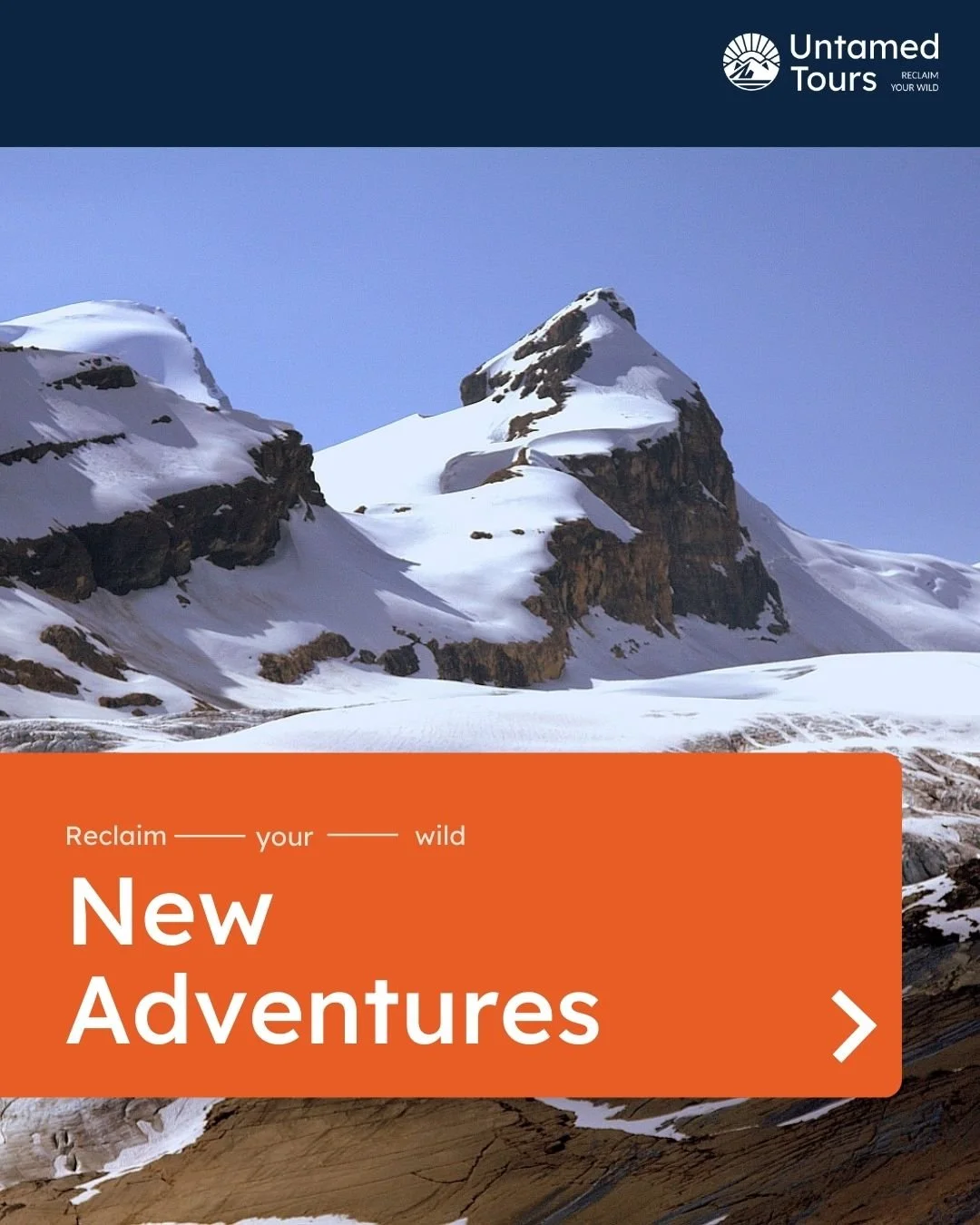
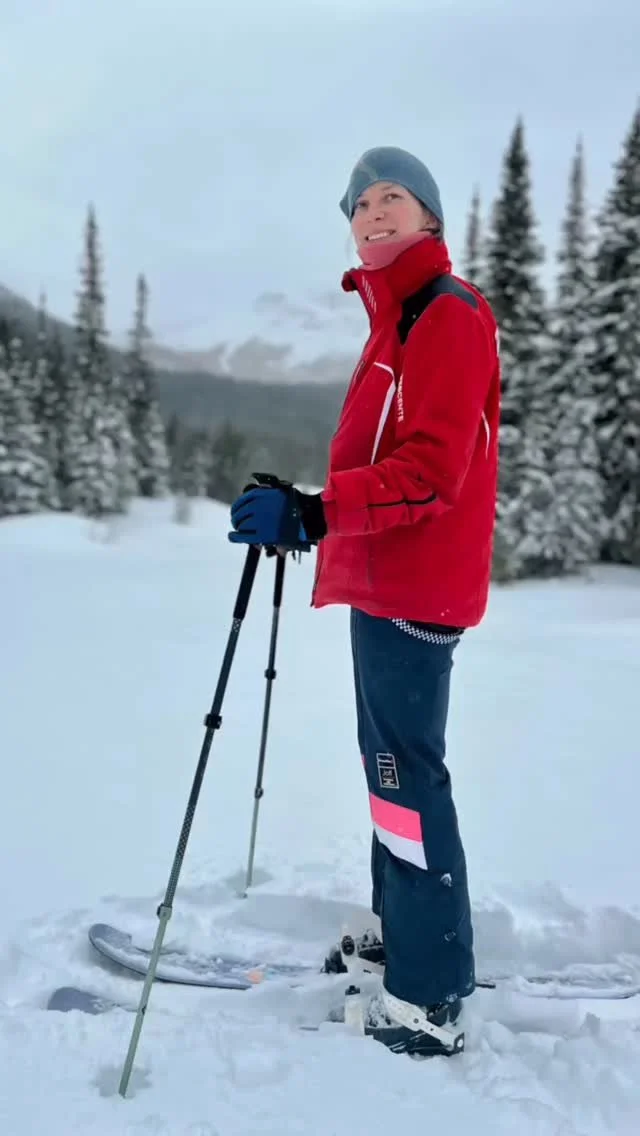
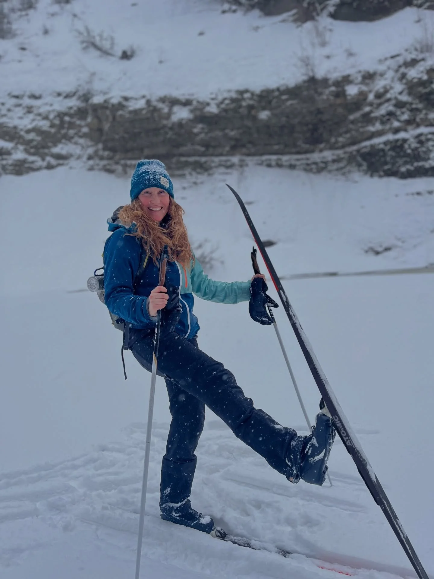
Spring Programs
Our Spring Programs build real trail community, establish a weekly rhythm with the outdoors, and lay the groundwork for stronger, more confident hiking all season long.
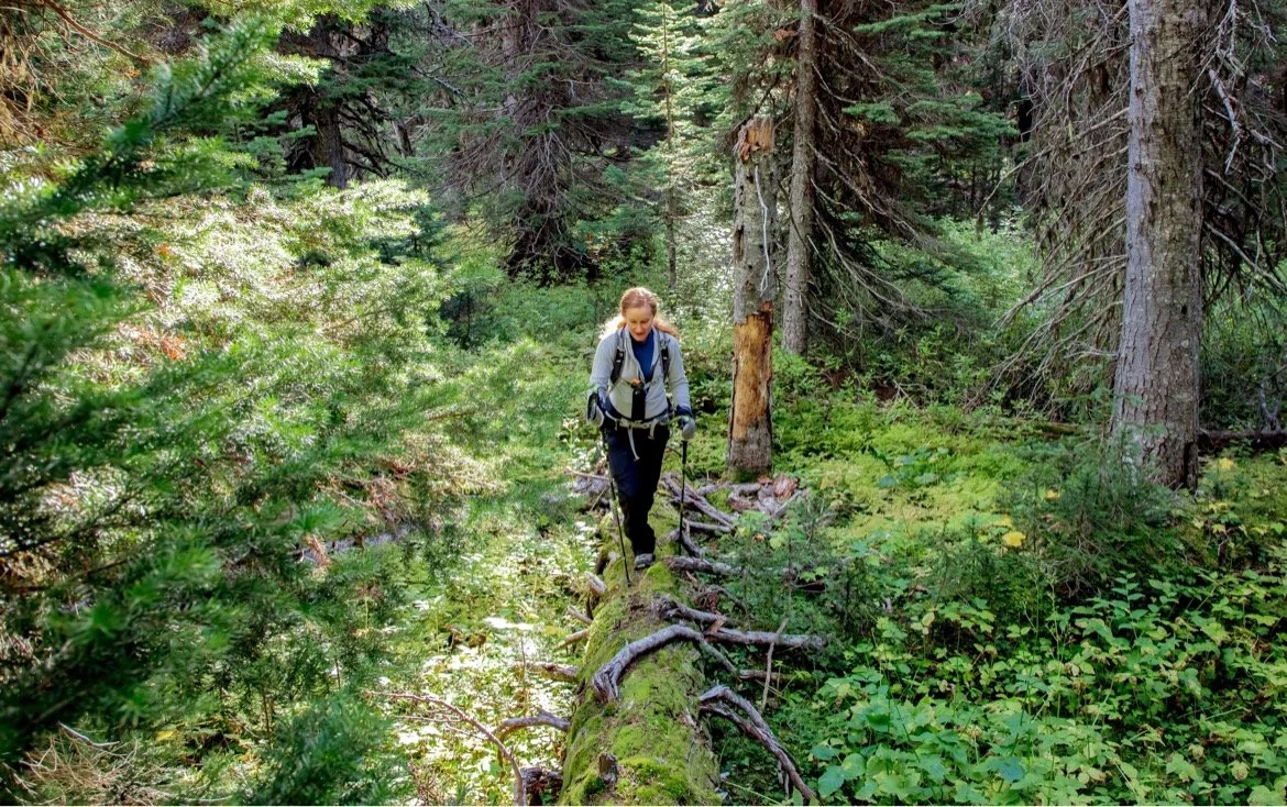
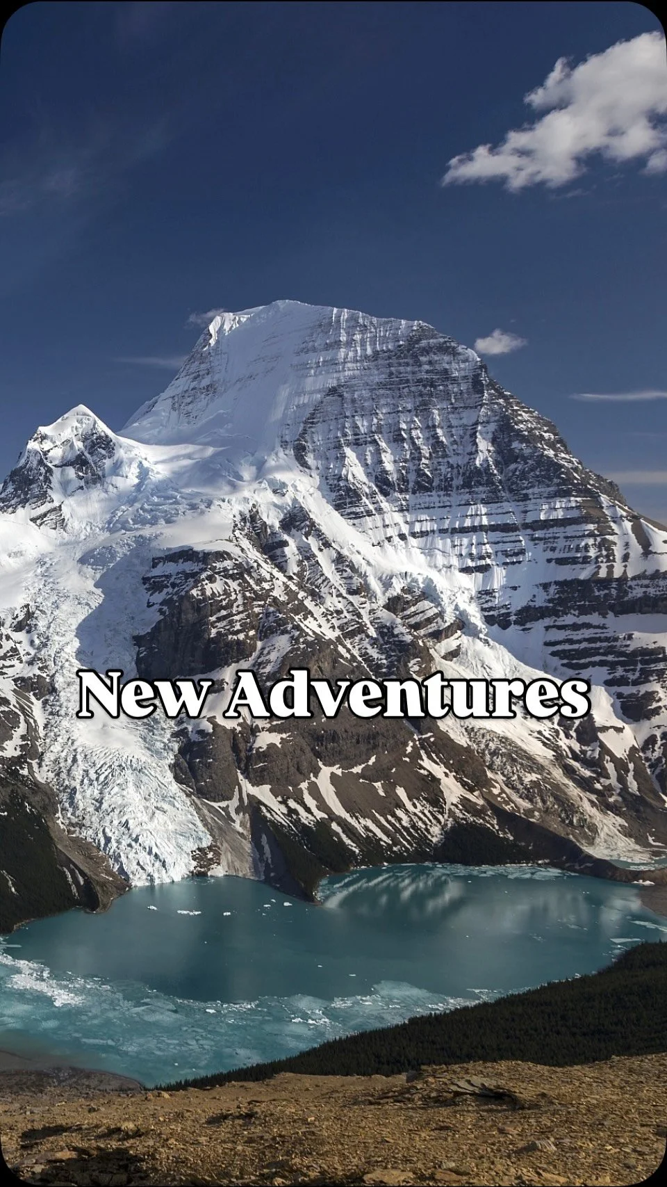
Learn The Trails - Spring Hike Nights GP
Dates: April 21 - May 26th
Level of Difficulty


Escape Into The Woods
Choose Your Hard
Private Day Hikes
Level 1 - 2
Easy
-
3-4 km round trip
50m + Elevation
2-3 hours
Inspiring rock formations, varied terrain, flower filled meadows
-
4km return
> 50m + Elevation
3 hours
Chunky boulder rocks to climb over, views of the valley, hidden tarn (lake)
-
2km return
> 50m + Elevation
1-2 hours
Easy path through the woods to a pretty waterfall and swimming hole - if you dare!
-
2-3 km round trip
50m + Elevation
2-3 hours
Incredible Waterfall, the Gem of Tumbler Ridge Geopark.
-
4km return
> 50m + Elevation
3 hours
Pretty falls and scenic lake with an interesting history.
-
2-4km return
> 50m + Elevation
1-3 hours
Up to 6 lakes to explore as a side trip to Kinuseo Falls
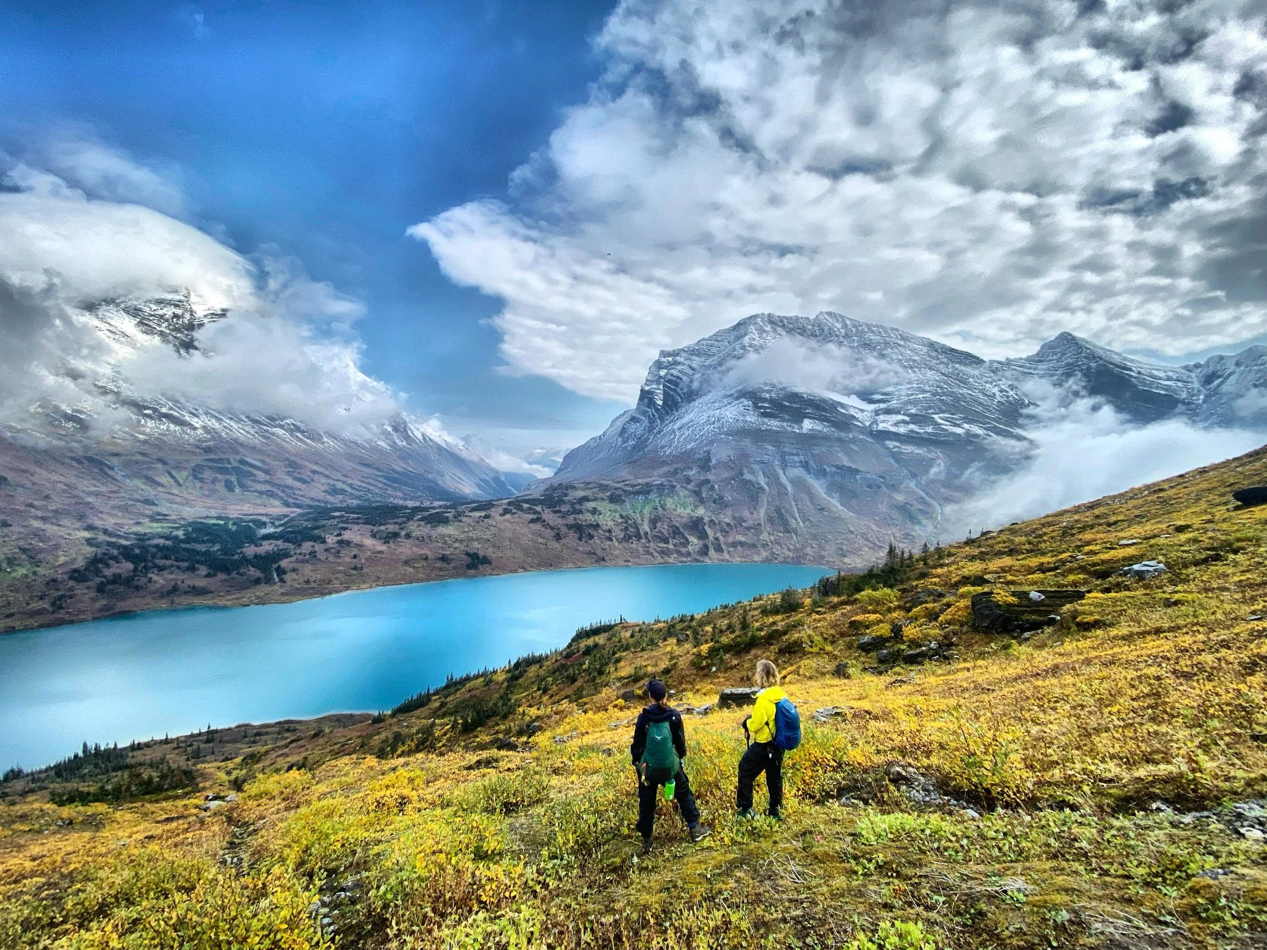
Level 3 - 4

Moderate

-
Beautiful Alpine Tarn tucked into a circular bowl with views of Mount Crum
-
Big Mountains, tiny lakes and mountain goats
-
A challenging hike to view natures wild and wonderful hidden gems.
-
12-14 km round trip
450m + Elevation
7-8 hours
River valley, waterfalls, and side trips, this hike has it all!
-
13km return
450m + Elevation
7-8 hours
An interesting peak that reminds one of the cliffs of Ireland,
-
10-120km return
550m + Elevation
6-8 hours
A large mulit-level mountain with lots to see! Large boulders hide mountian goats while small alpine tarns hide on the other side of the mountain.
-
6km round trip
250m +/- Elevation
Caves, lakes, stone features and mountain lore!
-
7km round trip
30m + Elevation gain
Easy walk through the community forest to the river banks edge where you get a fantastic view of the Murray River Valley
-
6km round trip
400m +/- Elvation gain and loss
Winding trail through through the forest to a fantastic ridge walk with views for days. The goats hide up here!
-
8 km round trip
350m + Elevation
4-6 hours
Floral meadows, filled wth alpine flowers, wide winding Ptarmigan Ridge and optional peaks to summit.
-
6km return
300m + Elevation
4-6 hours
Flat topped mountian that has endless opportunities to explore. Incredible views, interesting rocks and shallow tarns.
-
10km return
550m + Elevation
5-7 hours
A craggy rock trail turns into the “Caribou Highway” and down into alpine meadows up to the summit. Gorgeous views of the Sukunka River Valley.
Level 5
Hard


Follow us on Instagram for real moments from the wild and snapshots of what’s waiting for you.